
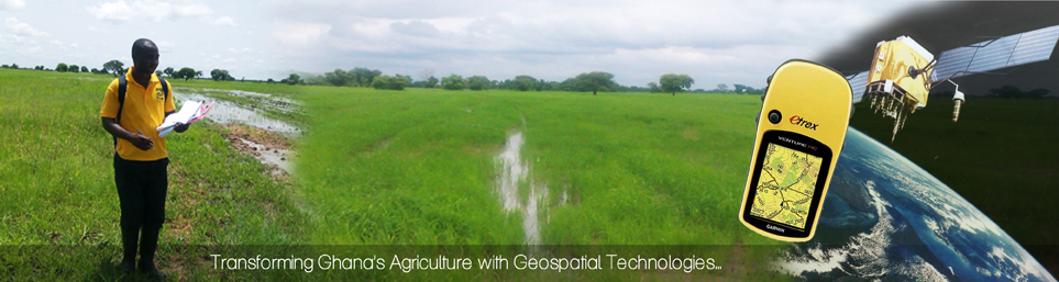


Welcome and thank you for taking time to visit the Ghana Agricultural GIS online Platform. This platform gives you access to cross-sectional data and GIS data collected by projects including USAID funded ADVANCE and TIPCEE projects, ADRA Ghana Food Security Program, the Ministry of Food & Agriculture (MoFA), and GTZ/MOAP Project.
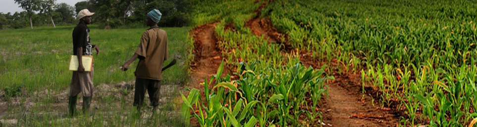
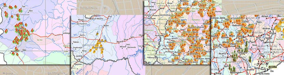
Application of GIS technologies in agriculture helps to provide essential information such as locations of smallholder farms, aggregators, processors, tractor service providers, warehouses, weather stations etc. To achieve a meaningful developmental impact, it has become necessary to share data among various stakeholders. This GIS online Platform has become the most appropriate means to make data available to end specific users and potentially to the public. This is expected to increase the efficiency of all value chain actors and industry leaders as managers base critical management decisions on reliable data. Ultimately, Ghana's agricultural industry will become competitive in the domestic, regional and international markets.
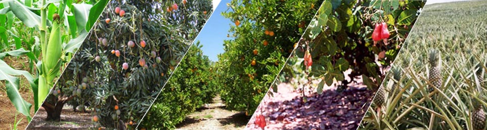
Data on this platform is available for six commodity value chains: Mango, Citrus, Maize, Rice, Soybean and Cashew. Most data here are for public interest and free. However, a fee is charged for premium dataset upon request.
Welcome...
News & Events:
Sponsors:
 |